Warm weekend in March? First weekend that we both have time off? This requires time in southern Utah.
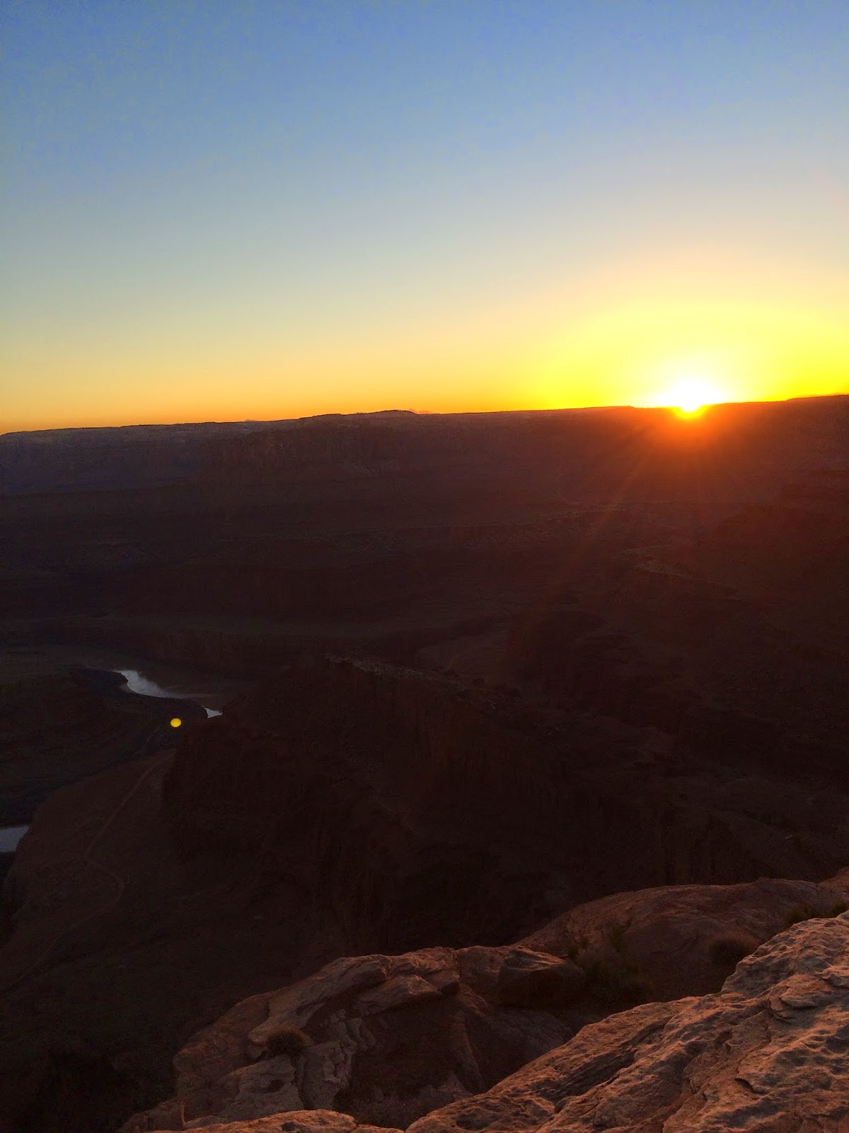
We decided on Dead Horse Point State Park, I've always wanted to go and there's just enough hiking for a day. We did the West Rim and the East Rim Trail to make a full loop. We started at about 4:30 in the afternoon and decided to do the West Rim first since it's 2.5 miles (3.5 if you add in the overlooks, which we did) and make it to the main overlook at sunset at 6:15 pm, then hike East Rim Trail, the shorter of the two - 1.5 miles, back to the visitor center.

track log

elevation graph
the astro wasn't calculating the elevation correctly at the beginning - so I started the graph at 1.5 miles
Hike stats:
Distance: 5.6 mile loop
Elevation start: 5900 ft
Elevation max: 5982 ft

start at the back of the visitor center

you have to closely follow the cairns on the West Rim Trail or else you'll loose the trail quickly

Rim Overlook trail (0.5 mile roundtrip)

little bits of snow left

you get right to the edge - no fences or guardrails

overlook


yucca

ephedra - aka "mormon tea"

oak says to follow the cairns

a little water left in the desert sandstone

Shafer Canyon Overlook

don't fall off!


oak at the edge


long shadows

mud cracks


andrew didn't know he was out on a ledge

spotted a coyote

at the "neck" of the hike - almost to the main overlook!


dead horse point
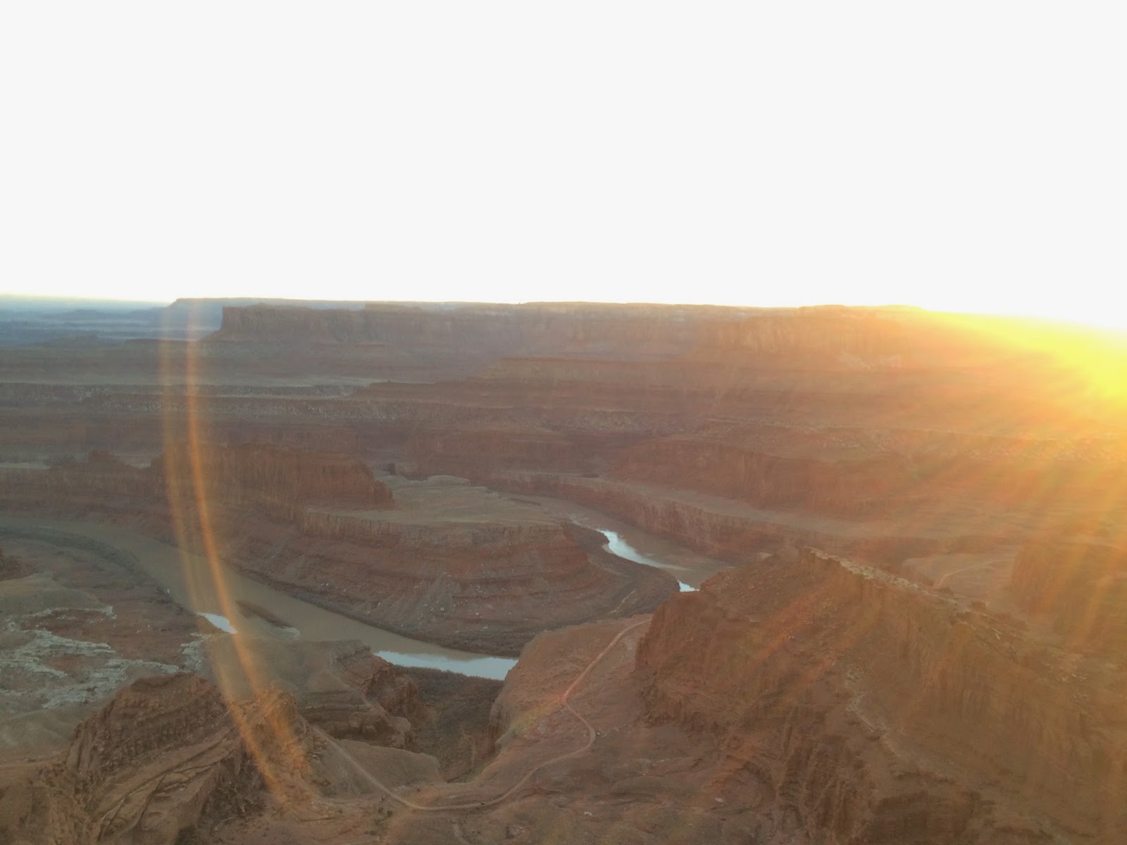


La Salles in the background


hiked East Rim back in the dark, East Rim is definitely the easier of the two Rim trails, it has a very defined path - you don't have to closely follow cairns

Labels: dead horse point, dog trails, Hiking, state park, Utah
Post a Comment