Silver Flat Reservoir Camping

First chance we got in June we took off for the mountains. We camped by Silver Flat Reservoir in American Fork Canyon. Go to American Fork Canyon, take the road to Tibble Fork, then the road to Silver Flat Reservoir. The road to Silver Flat Reservoir is a rough dirt road - we did see passenger cars driving up it but it is really rough and I personally wouldn't take a low clearance vehicle up it. Once at Silver Flat, from the parking lot we drove across the river to a another dirt road. We drove up it a mile or so and found a spot by the river to spend the night.  

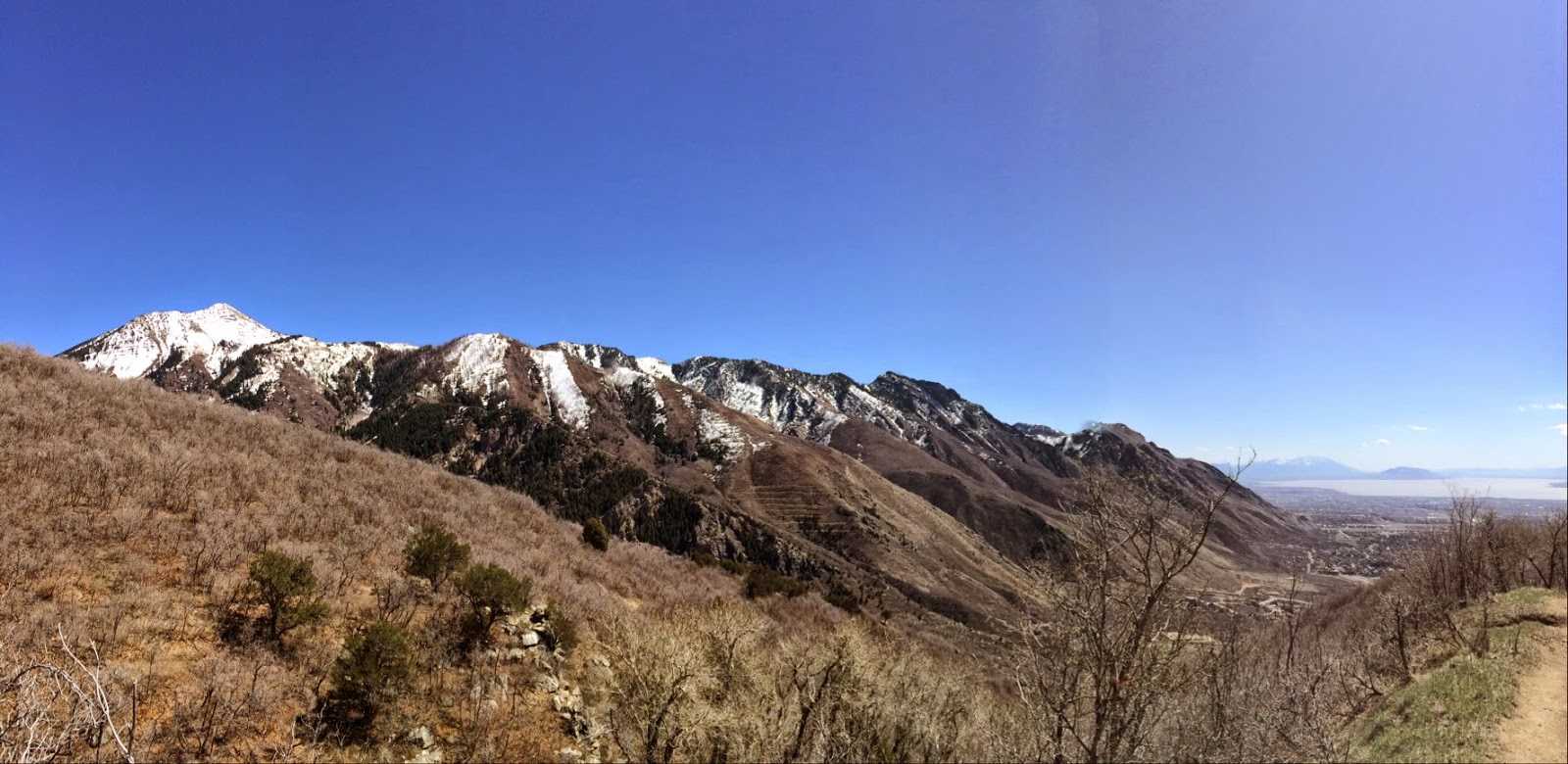
views from our campsite


just a little dirt road, 4-wheel driving to the campsite


early morning wake up call

more views from the campsite, sorry I forgot to take pictures of our actual campsite!

swimming in Silver Flat

fishin' - no fish caught with this pup barking every time we casted... 

chacos + camping = great weekend


Squaw Peak area

We decided to scope out some info for our Cascade summit trail that we will probably be doing in about a month, my Astro died so no track logs which is probably for the best since we bushwhacked down to the car so I wouldn't want anyone to get lost!

Old school cool

Parked in between the turnoff to Hope Campground and Squaw Peak Lookout and headed up the road

♥ Cascade

Casacde

At the gravel pit trailhead, the route we are going to take most likely, the summit's not that far..

Checkin' out the gravel pit

"Wilderness begins in the human mind" - Edward Abbey

Winter slide evidence

Little flowers


Selfie

See that snow chute. Yup, that's our plan.

Timpanogos

3 of our 7 peaks (left to right) Timpanogos, Casacde, and Provo blends with the clouds.
p.s. can you spot Oak?

Selfie 2

Rocks that looks oil-slicked

Looking out into Provo

My dad found a turkey feather

I love moss covered trees

So tired she wrapped herself around my boots

Schoolhouse Springs to First Hamongog

Me and my dad decided to plot our Lone Peak summit hike and checked out the south approach via Schoolhouse Springs. Since it starts in Alpine we invited my sister to come with us since we were right by her. 
From I-15 go east on Timpanogos highway, north on Alpine highway, right on 200 north, left on Grove Dr., left on Aspen Cove, left on Aspen Dr.

Good hikes start with good planning 

Track log

Elevation graph
Hike stats
Distance: 4.9 miles roundtrip
Elevation start: 5280 ft
Elevation end: 7172 ft
Elevation gain: 1892 ft

Turn up north Aspen Drive from Alpine Cove Dr

This road turns into a dirt road

Park at the water tank

Start your hike at the Lehi gate

Here we go!

Water spring across the trail

Green leaves

Me and my dad

Steep road

Looking back

Beautiful views the entire time

My dad 

Looking at the view - or for critters

Alpine

No Hunting

Wooden gate

Trying to find Brook's house

At the wooden gate: you can go through it, the road will loop up, or go to the right to a shortcut. We went right.

Natural spring

Lone Peak Wilderness area!!! Look how happy Oak is

"Wild Sweet Peas"
Photo credit: Brook

"Us-ie" 
Photo credit: Brook


First Hamongog

Model pose!

Ate lunch at the fire pit 

Mountain House = YUM!!

Just hangin

Views are amazing

You are on trail 200

Caterpillar!!

Found some awesome little cabins and an amphitheater and deck!


Horse paddock
Photo credit: Brook

Sister selfies
Photo credit: dad

Whatcha doin in there?! 
Photo credit: dad

Plotting our future Lone Peak summit hike!

Green-ness